When the Pacific Clears Its Throat
In Southern California, we tend to think of weather as a backdrop. The sun is a given, the marine layer burns off by noon, and rain is something that happens briefly, politely, and mostly in February.
Then an El Niño winter arrives, and the backdrop steps forward. Storms line up off the coast like planes waiting to land. Canyons that were dry for years run brown and loud. Roofs that looked perfectly fine in August are suddenly being tested by a week of rain that doesn't let up.
This is a story about that phenomenon — where it comes from, how it has reshaped Los Angeles over the past century, and why it quietly influenced the way we design, build and roof homes across the Valley and beyond. It ends where every good storm story should: with everyone safe, dry and looking out for one another.
What El Niño Actually Is
El Niño is not a storm. It is a change in the ocean — a warming of the surface waters across the central and eastern tropical Pacific that can last a year or more. The storms are what that warm water sets in motion thousands of miles away.
In a normal year, steady trade winds push warm surface water west toward Indonesia and Australia, while cold, nutrient-rich water wells up along the coast of South America. During El Niño, those trade winds weaken. The warm pool slides back east, and with it goes the tropical rainfall that feeds the atmosphere's biggest engines.
The effect on California comes through the jet stream. A strong El Niño tends to stretch the Pacific jet stream eastward and pull it south, aiming a conveyor belt of storms at the southern half of the state. Meteorologists call the ocean side El Niño and the atmospheric side the Southern Oscillation; together they are ENSO, and its cool opposite phase is La Niña.
One honest caveat matters here: El Niño tilts the odds, it does not write the script. Some El Niño winters have been relatively dry in Los Angeles, and some of the wettest winters on record came without one. What a strong event does reliably is raise the chance of a long, wet, stormy season — and that is exactly what buildings feel.
A Short History of a Long-Distance Storm
The name comes from fishermen on the coast of Peru. Centuries ago they noticed that every few years a warm current arrived around Christmas, the fish disappeared, and the rains came to a desert coast. They called it El Niño — the Christ child — for the season it showed up.
Science took longer to catch up. In the 1920s, British meteorologist Sir Gilbert Walker identified a seesaw in air pressure across the Pacific that he named the Southern Oscillation. It wasn't until 1969 that Norwegian-American meteorologist Jacob Bjerknes connected the two halves, showing that the ocean and the atmosphere were driving each other. That insight is the foundation of every seasonal forecast we read today.
Los Angeles learned its own lessons the hard way. The great flood of March 1938 killed dozens of people across the region and pushed the Army Corps of Engineers to encase the Los Angeles River in concrete — a reminder that big rain here has always been less about total inches and more about how fast water hits hard, steep ground.
The modern era of El Niño awareness began with the winter of 1982–83, a monster event that brought pounding surf, coastal damage and more than double the normal rain to downtown LA. Fifteen years later, the 1997–98 El Niño became a household word, with forecasters warning months ahead and Southern California receiving another season of roughly twice-normal rainfall, along with mudslides and hillside failures.
Then came the humbling chapter. The 2015–16 El Niño was one of the strongest ever measured, and Southern California braced for a deluge that never came; downtown ended the season well below normal. It is the clearest proof that El Niño loads the dice rather than guaranteeing the roll.
| Season | ENSO context | Downtown LA rainfall (inches) |
|---|---|---|
| 1937–38 | Great March 1938 flood | 23.43 |
| 1982–83 | Very strong El Niño | 31.25 |
| 1997–98 | Very strong El Niño | 31.01 |
| 2015–16 | Very strong El Niño | 9.65 |
| Normal season | 1991–2020 average | 14.25 |
Source: Los Angeles Almanac, downtown seasonal rainfall. Seasons run July 1 to June 30.
Why This Winter Has Forecasters' Attention
As of its September 10, 2026 update, NOAA's Climate Prediction Center has an El Niño Advisory in effect and puts the odds of a very strong event this fall and winter at greater than 90%. It even gives about a 75% chance that the October–December period will rank as the strongest El Niño reading since record-keeping began in 1950.
That puts the 2026–27 season in the same conversation as 1982–83 and 1997–98 — the two winters Southern Californians still describe by the year. Forecasters will be the first to say the 2015–16 lesson still applies, and no one can promise how much rain falls on Sherman Oaks in any given week.
But preparation doesn't depend on certainty. A home that is ready for a wet winter loses nothing if the season turns out mild, and a home that isn't ready can lose a great deal in a single weekend storm.
How Big Storms Shaped the Way LA Builds
Every building code is, in a sense, a collection of lessons learned the hard way. In Los Angeles, a surprising share of those lessons arrived with heavy rain.
The Los Angeles County Flood Control District was created after the destructive floods of 1914, and over the following decades it built the dams, spreading grounds and debris basins that still line the foundations of the San Gabriel Mountains. After the 1938 flood, the concrete river channels followed. These systems exist because a few wet winters showed what unmanaged runoff does to a growing city.
The hillside neighborhoods that make this area so beautiful — the slopes above Studio City, Encino, Sherman Oaks and Bel Air — carry their own history. As postwar development climbed into the hills, saturated slopes began to fail during wet winters, and Los Angeles responded with some of the country's earliest modern grading regulations. Today, compaction, drainage terraces, engineered retaining walls and geotechnical review are routine parts of hillside work for exactly this reason.
Roofing evolved along the same path. Much of the Valley was built in the mid-century boom, with low-slope and flat roofs that perform beautifully in sunshine and ask more of their drainage when water stands for days. Modern practice leans on better underlayments, properly lapped flashing at every wall and penetration, drip edges that carry water past the fascia, and scuppers and drains sized for real downpours rather than average ones.
The pattern is consistent: Southern California's dry years shape how we live, but its wet years shape how we build.
What Days of Rain Actually Do to a Home
Most roofs don't fail in a single dramatic moment. They fail at the small places where a long, hot, dry stretch has quietly done its work — and then a week of rain finds every one of them.
- Sun-baked roofing. Years of UV exposure dry out asphalt shingles, crack sealants and split the seams on flat roofs. Material that looks fine from the street can be brittle up close.
- Flashing and penetrations. Chimneys, skylights, vents and wall junctions are where most leaks begin. A gap the width of a credit card is enough to let water into the attic for days before a ceiling stain appears.
- Gutters and downspouts. After a dry summer they are packed with leaves, seed pods and dust. When they overflow, water spills against fascia boards, siding and the base of the house.
- Ponding on flat roofs. Standing water finds weak seams and adds weight. On low-slope roofs, a clogged drain or scupper can turn a normal storm into an interior leak.
- Foundations and grading. Downspouts that empty right at the wall saturate the soil next to the foundation, which can show up as damp crawlspaces, cracked slabs or water in a garage.
- Slopes and retaining walls. On hillside lots, blocked weep holes and clogged drainage channels let water build pressure behind walls — one of the reasons hillside drainage deserves attention before the season, not during it.
The good news is that nearly all of these are inexpensive to address in October and expensive to repair in February.
Your Pre-Storm Checklist
A few hours this fall can spare you a very long winter. Here is what we recommend every homeowner work through before the first major storm:
- Clean gutters and downspouts, and run a hose through each one to confirm water flows freely.
- Extend downspouts so water discharges at least a few feet away from the foundation.
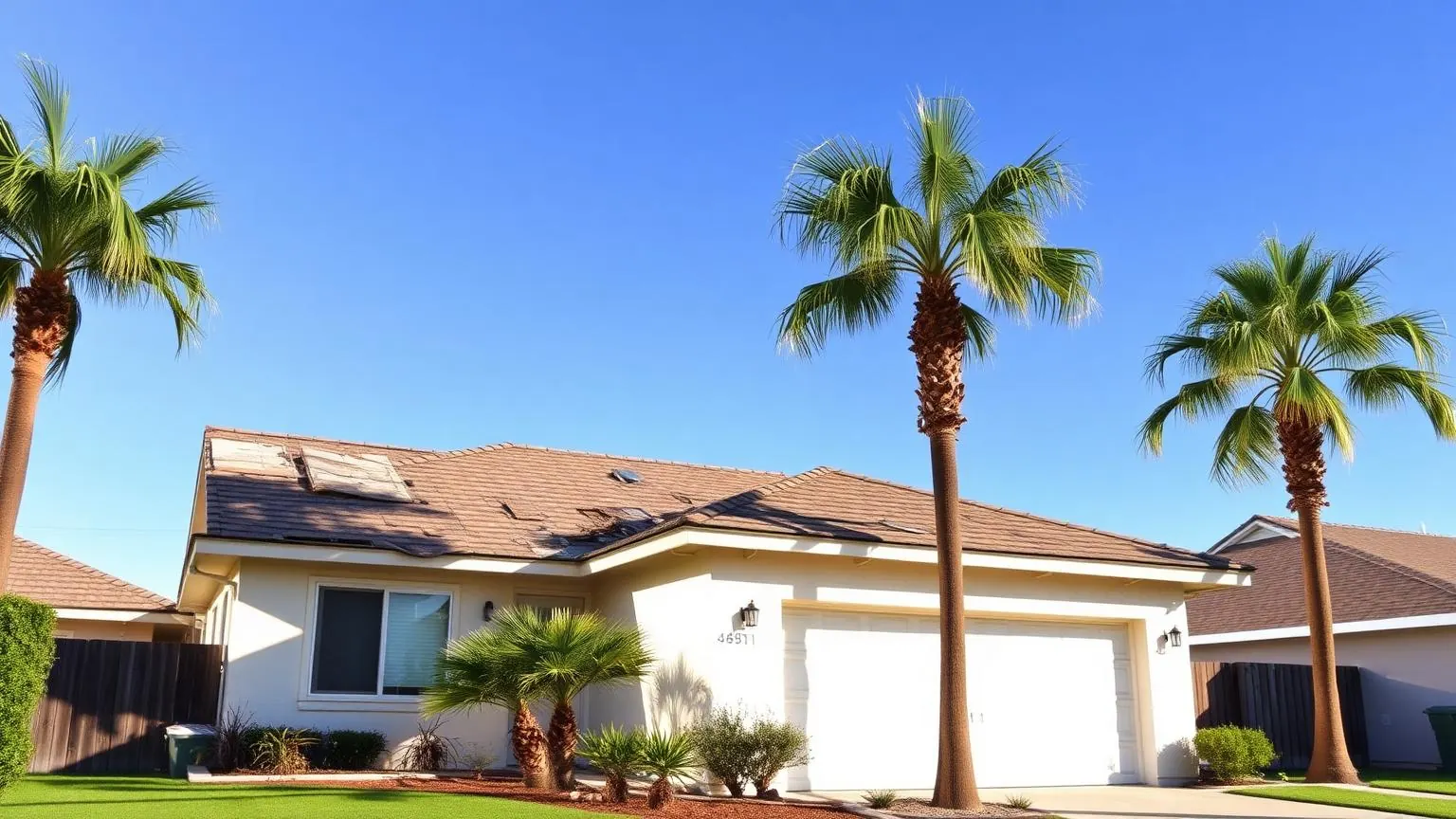
- Walk the property and look up: missing or curled shingles, cracked tiles, lifted flashing, or worn sealant around vents and skylights.
- On flat roofs, clear drains and scuppers and look for blistering, open seams or low spots where water collects.
- Check the attic with a flashlight for water stains, damp insulation or daylight where it shouldn't be.
- Trim branches that overhang the roof or could fall in high wind.
- On hillside lots, clear drainage swales, terrace drains and retaining-wall weep holes.
- Keep a few tarps, sandbags and a flashlight on hand, and know where your main water and electrical shutoffs are.
- Photograph your roof and home now; clear "before" photos make any insurance conversation easier.
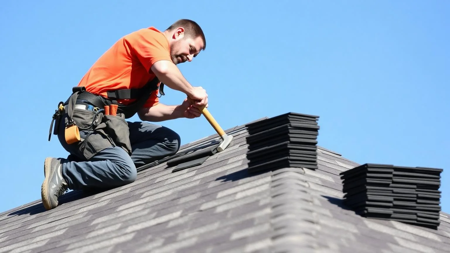
- If anything looks questionable, schedule a professional roof inspection while contractors' calendars are still open.
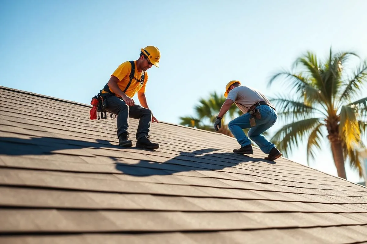
One word of caution: please don't climb onto a wet or steep roof during a storm. If a leak appears mid-storm, put a bucket under it, move belongings out of the way and call a professional once it's safe.
Stay Dry, Stay Safe, Look Out for Each Other
There is something about a real storm season that brings a neighborhood together. People check on the older couple down the street, lend a ladder or a tarp, and swap notes about which intersections flood first. That instinct is worth holding onto all winter.
So as the Pacific warms and the forecasts sharpen, take care of the roof over your head — and the people under it. Stay off flooded roads, give hillsides and washes plenty of room during heavy rain, and keep an eye on the neighbors who might need an extra hand.
From all of us at American Reliable Construction & Remodeling, we hope your winter is cozy, your gutters run clear and your home stays warm and dry. And if your roof needs a second look before the rain arrives, our team in Sherman Oaks is always glad to help. Call us at 877-702-6180.
Built Reliable.
Sources
- NOAA Climate Prediction Center — ENSO Diagnostic Discussion (Sept. 10, 2026)
- Los Angeles Almanac — Total Seasonal Rainfall, Downtown Los Angeles
- OpenSnow — Strong El Niño Building, Potential Winter 2026–2027 Impacts
Schedule a free roof inspection
"Request a free estimate or call (877) 702-6180 to prepare your roof before the next storm."